A New Mobility Vision for a District in Transition
The Sultanbeyli Sustainable Urban Mobility Plan was developed to respond to mobility demand reshaped by the district’s ongoing urban regeneration, with a focus on safety, accessibility and sustainability. According to 2025 data from the Turkish Statistical Institute, Sultanbeyli has a population of 378,908.
The study comprised two components: strategic planning across the district as a whole, and operational improvements along the Fatih Bulvarı – Petrol Yolu Caddesi – Bosna Bulvarı corridor. The programme was delivered within a total period of 80 calendar days.
A Model-Based Technical Approach
The technical framework followed the methodology, process and minimum output requirements set out in the European Commission’s Guidelines for Developing and Implementing a Sustainable Urban Mobility Plan.
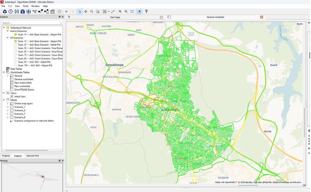
A four-step macro transport model structured around Traffic Analysis Zones was integrated with land-use, demographic and socio-economic data to provide an evidence-based basis for demand forecasting. The model was calibrated using a household survey covering 3,800 people, equivalent to 1% of the district population, together with traffic counts undertaken at six cordon and six screenline locations.
At corridor scale, a microsimulation model incorporating car-following, lane-changing and gap-acceptance behaviour was used to assess traffic operations. Performance at ten junctions was evaluated using Level of Service and Volume/Capacity indicators.
Prioritised Measures and Deliverables
The implementation framework was defined as prioritised packages of measures following a multi-criteria evaluation of the scenarios. The plan was structured in alignment with the 12th Development Plan, the 2026 Presidential Annual Programme, the National Transport and Logistics Master Plan, the Road Traffic Safety Strategy Document and Action Plan, and the Sultanbeyli Municipality Strategic Plan.
Stakeholder participation continued throughout the process through an opening event with at least 100 participants, workshops and focus-group meetings. Deliverables included the Sustainable Urban Mobility Plan and traffic circulation reports, concept designs for junctions, GIS datasets, and the macro model and microsimulation files. This established a common data foundation for both strategic planning decisions and operational interventions at street level.